If you live along the Markham Woods Corridor, you have probably driven past the trail signs a hundred times without giving them much thought. A paved path. Cyclists in the morning. A place to walk the dog after dinner. That reading is not wrong, but it undersells what is actually running behind the tree line.
The Seminole Wekiva Trail is the local access point for a paved network that crosses the entire state of Florida. Which trailhead you choose, and which direction you turn out of it, changes whether you get a quiet neighborhood loop, a mountain bike session, an art walk, or the on-ramp to a fifty-mile ride. Here is how residents of the corridor can read the trail more carefully.
The Two Trailheads That Belong To You
Five official trailheads sit along the Seminole Wekiva, but only two are practical from the corridor. The rest add drive time that defeats the point of having the trail in your neighborhood.
Markham Trailhead, 8515 Markham Woods Road
This is the northern anchor and by far the most equipped stop on the line. The Markham Trailhead offers restrooms, a water fountain, trailer parking, an equestrian paddock, a bike wash station, and a mountain bike skills course. The equestrian paddock is the giveaway that this trailhead was designed for more than pavement joggers. If you own horses on acreage along the corridor, you have a legitimate staging area a few minutes from your driveway.
The mountain bike skills course is the least advertised amenity. Most residents assume the Seminole Wekiva is a paved road-bike trail and nothing more. Markham Trailhead is also the entrance to the Markham Woods Mountain Bike Trail, and while you are there, an historical marker describes the lost town of Markham and its lumber, turpentine, and agricultural activities. That last detail is worth two minutes of your morning. The land your neighborhood sits on had a working economy before it had subdivisions.
Jones Trailhead, Markham Woods Road at Long Pond Road
Jones is the quieter option, sitting further south along the corridor. It has a water fountain and exercise equipment but no restrooms. That single missing amenity determines its character. Families with small children default to Markham. Joggers and cyclists on quick loops default to Jones. If you want the trail to feel like a neighborhood park rather than a regional destination on any given Saturday, this is the entrance to use.
| Markham Trailhead | Jones Trailhead | |
|---|---|---|
| Restrooms | Yes | No |
| Water | Yes | Yes |
| Trailer/horse parking | Yes | No |
| Mountain bike skills course | Yes | No |
| Character | Regional hub | Neighborhood park |
The Trail Is A Hub, Not A Loop
Here is the fact that reframes the whole trail once you know it. The Seminole Wekiva is not a self-contained path. Along with the Cross Seminole Trail, it is part of the Florida Coast-to-Coast Trail, a continuous paved multi-use trail across the state from the Atlantic to the Gulf. The section west of the I-4 overpass to the county line at the Wekiva River is also a designated part of the Florida National Scenic Trail.
The practical version of that fact lives at a small pedestrian bridge over Interstate 4. A spur north of Lake Mary Boulevard crosses I-4 via a pedestrian bridge, connecting directly to the Cross Seminole Trail, which will extend a cycling ride another 24 miles, eventually connecting with the Cady Way Trail in Winter Park. From your driveway on Markham Woods, you can reach Oviedo, Winter Springs, and eventually the edge of Orlando without touching a car lane.
The signs pointing to the Cross Seminole Trail from the Seminole Wekiva are small and easily missed, but the spur is paved and fairly obvious once you look for it. Most residents ride the Seminole Wekiva for years without ever taking that turn. Take it once and the trail stops feeling like a jogging path.
The Mile That Turns Into An Art Walk
The stretch between roughly mile 6.5 and mile 7.5 is where the trail earns the strangest of its reputations. Near E.E. Williamson Road, the fences along the trail are covered in more than 500 paintings of celebrities and historical figures, plus memorials, done by Jeff Sonksen, a self-trained artist and carpenter by trade whose work started outside his parents' home along the trail.
The result is a slow mile. If you ride through at any pace faster than a jog, you will miss most of it. Neighbors who use the trail for exercise tend to write this section off as a distraction. Neighbors who use the trail as a place to take out-of-town guests know it is the single most unusual thing on the corridor. There is no other stretch of suburban fence in Central Florida that carries a comparable outdoor gallery.
What The Canopy Actually Buys You
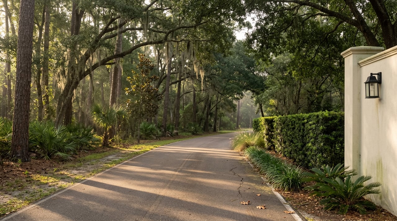
The shade is not incidental. Most of the trail is covered by a heavy tree canopy, allowing use on hot, sunny days without sunburn, and on the northern half you are likely to encounter deer, wild turkeys, hawks, bald eagles, sandhill cranes, and even black bears.
Two things follow from that. First, unlike most Central Florida paved paths, the Seminole Wekiva is genuinely usable in July and August between about seven and ten in the morning. The canopy drops the felt temperature enough to make the difference. Second, the wildlife on the northern half is a real consideration, not marketing copy. Sandhill cranes and turkeys cross the trail. Black bears are unusual on the corridor itself but present in the broader Wekiva basin. Dogs on flexi-leads are a bad idea on the stretches closest to the river.
The Small Stops Worth Planning Around
A few off-trail points are worth building into a Saturday, and none of them require a car.
Shoppes of Oakmonte. Behind the Oakmonte shopping plaza in Lake Mary there is trailhead parking, which means the trail connects to a coffee-and-breakfast stop without the usual highway crossing. It is the closest thing the corridor has to a European-style trail cafe arrangement.
The Panera plaza access. The Panera Bread shopping plaza off Lake Mary Boulevard offers another parking and stop option. If you are meeting a friend who is driving in from a different neighborhood, this is usually the easiest rendezvous.
The Wekiva River side trip. This one is the payoff move. From Markham Road, if you cross straight over Longwood-Markham Road and go around the barrier, you get a half-mile unpaved ride to the Wekiva River, and a short path down to view the river with hiking trails winding through the area. The pavement ends. Most riders turn around before then. The half mile you gain by continuing is the quietest stretch of the whole system.
The Underpasses Are Newer Than You Think
If you have not ridden the trail in a few years, one detail has changed the experience. Recently added underpasses have eased busy crossings at Markham Woods Road at Route 434 and at Lake Mary Boulevard at International Parkway. The trail used to force cyclists to stop, dismount, and cross with traffic at both points. Removing those two crossings turned a fragmented ride into something you can actually settle into.
The historical context helps too. The Seminole Wekiva Trail was built along the former Orange Belt Railway, at one time the longest railroad in the country, driven by Peter A. Demens of Longwood, who had the railroad built all the way to St. Petersburg. The reason the trail is so long, so straight, and so unbroken by hills is that a nineteenth-century railroad engineer already solved the routing problem. You are exercising on the leveled bed of a rail line that once ran from Central Florida to the Gulf Coast.
How To Read Your Trail Now
For a resident of the corridor, the practical takeaway is that the same trail can be four different amenities depending on which entrance you pick and which direction you turn. Ride south from Markham for the fence art. Ride north from Markham for the Wekiva River spur. Stage horses or a mountain bike from the Markham paddock. Take Jones for a quick neighborhood loop. Cross the I-4 bridge for a serious ride toward Oviedo. The trail is a hub with four exits, not a single loop.
The corridor is often described in terms of estate lots, oak canopy, and privacy. Those things are true. What is less often said is that the same corridor has a paved on-ramp to a state-spanning trail network sitting behind the tree line, and the residents who use it well tend to be the ones who bothered to learn which trailhead does what.
If you are thinking about a move within the corridor or from out of state, and details like these are the kind of local texture you want an agent to actually know, Tara Mruk would be glad to schedule a free consultation and walk the corridor with you.